
Today the media is full of headlines that are discussing about environmental issues. There are many approaches to analyzing and studying the environmental issues nowadays, using computer technologies. One of these technologies is represented by Geographical Information Systems (GIS).
Few words about Geographical Information Systems (GIS)
As it name says, a Geographical Information Systems (GIS) is that system that includes several tools and applications that permit to manage and analyze geographical data. A Geographical Information Systems (GIS) is able to store, capture, generate, edit, shape, interrogate and analyze a wide range of geographical data. An important aspect that should be mentioned about GIS is that this system is working with two different kinds of data, naming here raster and vector. In a world that is using more and more computer techniques, GIS is an important tool in a large variety of domains that involve spatial and temporal data. A major advantage in using GIS is that this system is able to handle both spatial and temporal data at the same time and to join cartographic data from a table database.
Environmental issues and Geographical Information Systems (GIS)
Nowadays environmental issues are on the agenda of all the governments and organizations. Environmental issues such as pollution (air pollution, marine pollution, soil pollution or industrial pollution), deforestation, overpopulation, green gas emissions and natural disasters may be studied using Geographical Information Systems methods. By implementing GIS 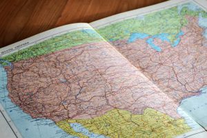 techniques in environmental issues, we are able to compare certain environmental issues during the time. For example, we are able to capture data from the past regarding marine pollution and from the present and using tools that are available in GIS we may have a comparison in quantity of pollution, but also in surface that is affected by such an environmental problem. An aspect that is more important is that using GIS we may create predictive models regarding an environmental issue, a model that may help us to plan our actions in order to mitigate those risks.
Advantages of using Geographical Information Systems (GIS) in environmental issues
There are many advantages of using computer technologies in our daily problems and environmental issues represent a present challenge, but also a challenge in our future. There are several advantages of using Geographical Information Systems (GIS) in environmental studies. One of them is that after you have captured the data regarding environmental 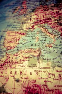 risks, you may use that data in a large variety of analysis and, more important, you may update anytime that database with new information. Another important advantage is that in this way we are able to join a lot of data in our analysis, starting from terrain data, road networks, urban information, demographic data, remote sensing data, weather data and land use information. Besides, using Geographical Information Systems (GIS) in environmental risks permits us to study the evolution of certain issues and to create predictive models.
This is a short introduction about how Geographical Information Systems (GIS) may be very useful in environmental risks management. As you may see from above, there are many reasons for which this system should be used in these approaches.